


Top 7 Industries Benefiting from Drone Surveying in 2025
Discover how drone surveying is transforming 7 major industries in 2025. See who benefits most—read now!
Drone surveying is transforming how industries collect, process, and analyze spatial data. It's fast, accurate, and cost-effective. In 2025, these seven sectors are reaping the biggest rewards.
1. Construction and Infrastructure
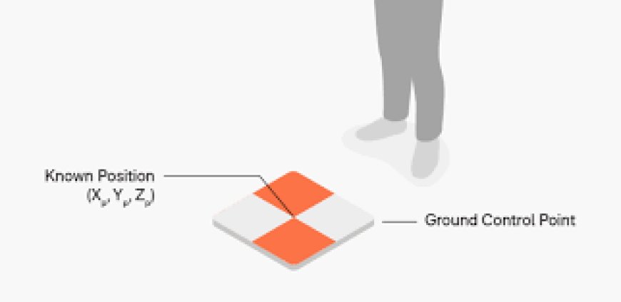
Drone surveying improves site planning, monitoring, and inspections. It captures real-time aerial images and data. Contractors use it to track progress and detect safety risks early. When combined with ground control points, accuracy improves significantly. These points help align aerial data with exact coordinates. This reduces delays and rework caused by measurement errors. Engineers can also map large sites quickly and precisely. The result is faster project execution and improved efficiency.
2. Agriculture and Farming
Farmers use drones to monitor crop health and field conditions. Survey data helps optimize yield. Drones detect irrigation issues, disease spots, and growth stages. This allows faster action. Drone surveying supports precision agriculture. It reduces waste and improves resource management.
3. Mining and Quarrying
Surveying mines manually is time-consuming and dangerous. Drones make it faster and safer.
They help map open-pit mines, stockpiles, and blast sites. Data updates are quick and accurate. Drone imagery supports volume calculation and terrain analysis. It also enhances safety checks.
4. Urban Planning and Real Estate
Planners use drone surveys to visualize land use and zoning. Aerial data improves planning accuracy. Real estate agents showcase properties with drone footage. This offers better views for buyers. Drone surveys also support land valuation, development, and infrastructure planning in urban zones.
5. Energy and Utilities
Energy companies inspect power lines, solar farms, and wind turbines using drones. It reduces downtime. Surveying remote areas is now faster and safer. Drones access hard-to-reach spots easily. Utilities also map pipelines and monitor structural integrity with fewer manual checks.
6. Environmental Monitoring
Drones survey forests, coastlines, and wildlife habitats. This improves conservation efforts and reporting. They detect erosion, pollution, and illegal land use. Monitoring becomes faster and more consistent. Researchers also track deforestation and climate changes using drone-captured data over time.
7. Final Thoughts
Drone surveying is reshaping many industries in 2025. Its impact will only grow from here.
It cuts costs, saves time, and improves safety across sectors. The future is in the skies.
Adopting drone tech now keeps industries ahead in a data-driven, fast-moving world.


